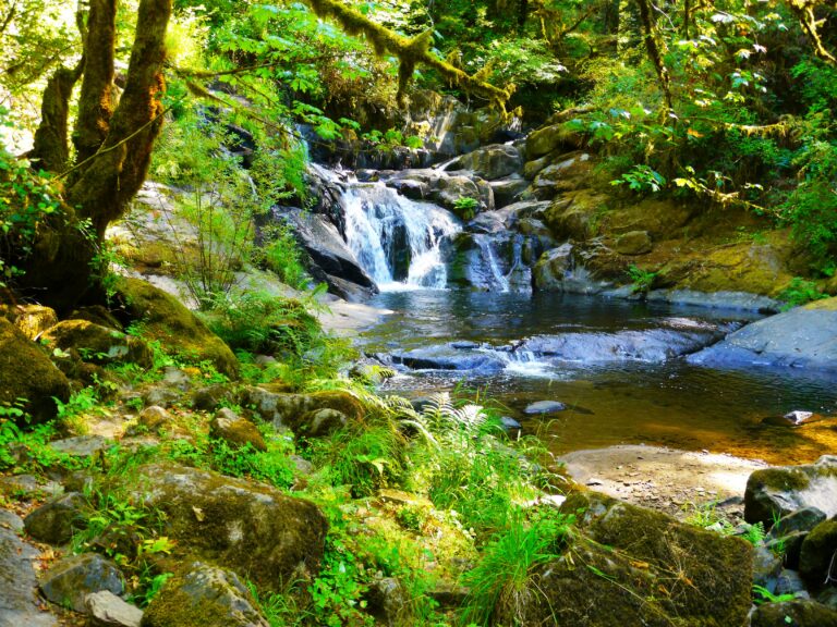
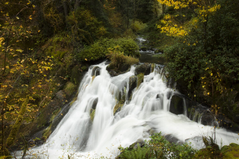
Beaver Creek Falls is a 23-foot segmented cascade in Siuslaw National Forest, Lane County, Oregon, where Beaver Creek and Sweet Creek meet and pour into a shared pool. It sits in the Sweet Creek area east of Mapleton, and a signed trailhead puts it about 200 feet from the parking area.
The falls
Two streams arrive side by side: Beaver Creek drops in a slightly veiling horsetail, while Sweet Creek descends a narrow chute of 17 feet, and both land in the same pool. The whole face averages about 40 feet wide. A field re-survey in September 2026 measured the drop at 23 feet, updating an earlier 20-foot listing.
Getting there
From Mapleton, the direct route follows Highway 126 east across the Siuslaw River, then Sweet Creek Road for just under 12.5 miles to a signed turn for Beaver Creek Falls. A gravel spur of about half a mile ends at the trailhead, and the viewpoint is roughly 200 feet down the path, an easy short walk. An alternate approach starts at the Wagon Road Trailhead on Sweet Creek, crossing the road bridge and following the Sweet Creek Trail upstream about 0.6 mile to the base of the falls. A Northwest Forest Pass is required to park in the area.
When to go
Flow is strongest from late autumn to late spring, with winter through spring the best season. By August and September the falls may shrink to a trickle, though neither creek is expected to dry up completely.
On site
The short trail ends at a viewpoint facing both branches of the falls. The Beaver Creek approach is generally quiet compared with the main Sweet Creek route.
Nearby
Sweet Creek Falls is about 0.6 mile away, with Elk Wallow Falls at 0.9 mile, Punchbowl Canyon Falls at 1 mile and Homestead Falls at 1.1 miles, all on Sweet Creek. In September 2026 the Homestead Trailhead and a damaged boardwalk on the Sweet Creek Trail were reported still closed.
Distances are straight-line.