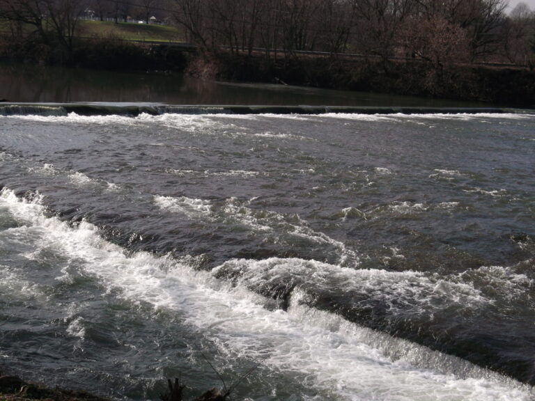
Upper Falls is a broad, low cascade on the Coal River at Tornado in Kanawha County, West Virginia, where the river spills across its full width just below an old mill dam beside Meadowood Park. It is more a river rapid than a waterfall, but the county park has a viewing area and a trail named for it.
The falls
The Coal River breaks across its full width in a series of small drops with a loud roar. A wide cascade drops no more than 3 feet, with a small dam just upstream that may have altered an upper part of the falls.
Getting there
Park at Meadowood Park, 292 Pettigrew Lane in Tornado, a 600-acre Kanawha County park along the Coal River with free parking. The park is open dawn to dusk year-round, and a short trail leads from the park to the river.
When to go
The river rises quickly after heavy rain. At high water the dam can nearly drown out, with the drop reduced to about a foot.
On site
The park has a waterfall viewing area, two boat launches on the Coal River, an eight-acre fishing lake with an accessible pier and restrooms. Paddlers normally portage the dam, which is considered dangerous along with its sluice; stay off the dam and out of the sluice.
History and name
Roman Pickens built a gristmill at the falls in 1884. Its foundations and power dam still stand.
Nearby
Lower Falls is about 2.4 miles away. Kanawha Falls is about 36.6 miles away, and Caney Falls in Kentucky about 55.8 miles.
Distances are straight-line.