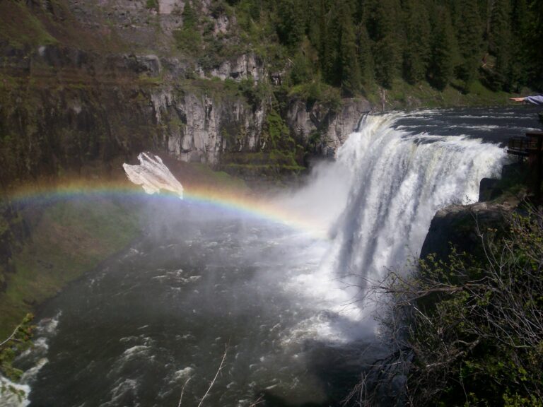
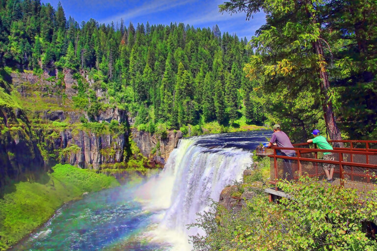
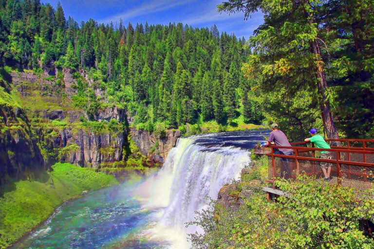
Upper Mesa Falls is a 100-foot block waterfall on the Henrys Fork of the Snake River in Fremont County, Idaho, where the river pours over a ledge about 335 feet wide. The World Waterfall Database ranks it among the largest waterfalls in Idaho, possibly second only to Shoshone Falls.
The falls
The Henrys Fork drops about 85 feet in a broad, unbroken sheet, then another 10 to 12 feet over a smaller tier downstream. The river is spring-fed, with average flows of about 1,200 cubic feet per second in the high season and 750 in the low. A lidar-based estimate puts the total at about 100 feet; the widely published figure is 114 feet, and an earlier federal recreation survey gave 106. The viewpoints show the falls only from the side.
The ledge is Mesa Falls Tuff, rock laid down by rhyolitic eruptions from the Henrys Fork caldera about 1.3 million years ago. The river later carved a wide canyon, which basalt flows partly filled, and then cut its present inner channel through that basalt.
Getting there
The falls sit in Caribou-Targhee National Forest along the Mesa Falls Scenic Byway, about 16 miles from Ashton, managed jointly by the U.S. Forest Service and Idaho Parks and Recreation. A paved parking lot off Upper Mesa Falls Road has two accessible spaces. From it, a boardwalk and lookout route of about 0.4 mile reaches the overlooks. Admission is charged and also covers Harriman State Park; Idaho Parks and Recreation and Harriman passes are accepted.
When to go
The site closes in winter because of snow. In winter a ski route to the falls runs from Bear Gulch, about 4.7 miles one way.
On site
Boardwalks and paved paths lead to overlooks, and part of the route is accessible. The canyon walls are sheer: in August 1991 a Texas woman looking for a photo spot fell a reported 114 feet from a ledge downstream of the falls into the river and survived with broken ribs, a punctured lung and a fractured pelvis; stay back from the rim.
History and name
The Big Falls Inn beside the falls dates to 1909. The property was acquired by the federal government on December 18, 1986, and after restoration by the state and land managers it opened as an interpretive center in 2001.
Nearby
Lower Mesa Falls is about 1 mile downstream, and Sheep Falls, also on the Henrys Fork, is about 3.3 miles away. Robinson Canyon Falls on Robinson Creek is about 12.5 miles off.
Distances are straight-line.