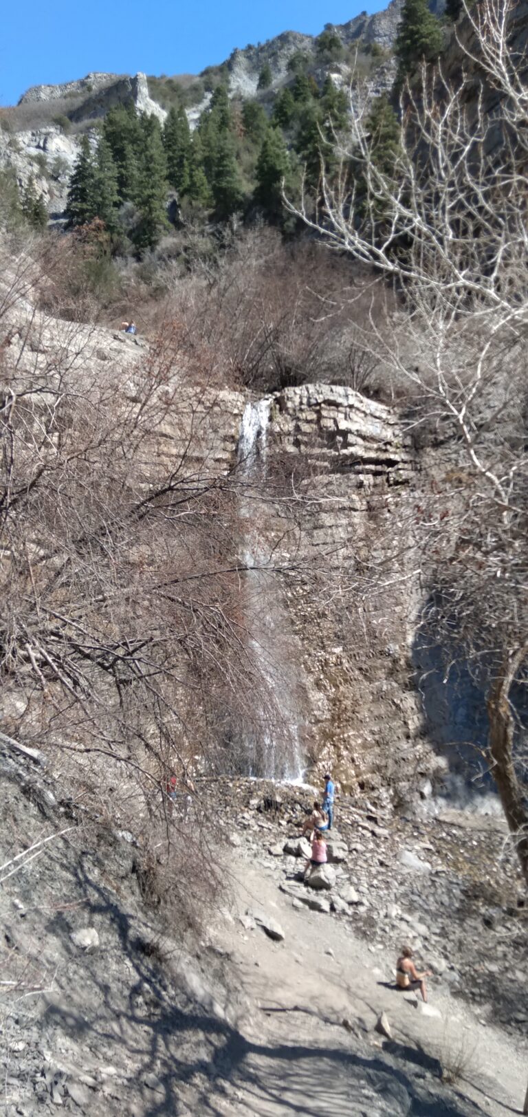
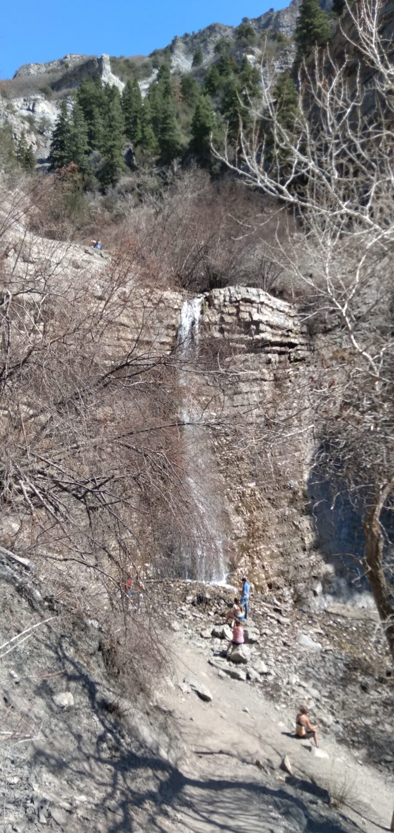
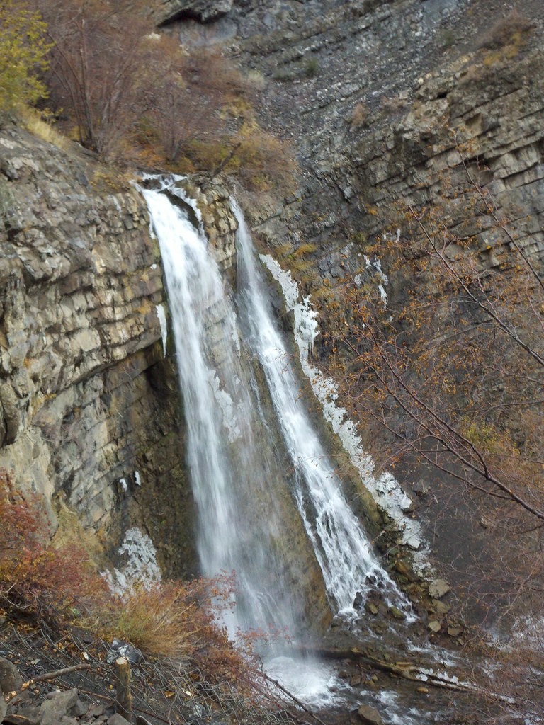
Battle Creek Falls is a 55-foot plunge waterfall on Battle Creek in Utah County, Utah, on the west flank of Mount Timpanogos just above Pleasant Grove. A short, steady trail from a trailhead at the edge of town leads up the canyon to it.
The falls
Current measurements record a single 55-foot plunge, though older records cited 164 feet and guidebooks place it around 50 to 60 feet. The creek pours onto bare rock without forming a pool. Battle Creek is perennial and fed by a spring upstream, with Blue Creek and Shirt Creek joining above the falls, but its flow varies a lot: it runs highest during late-spring snowmelt and lowest when it freezes in winter.
Getting there
The Battle Creek Trailhead sits at the east end of 200 South, also called Battle Creek Drive, beside Kiwanis Park in Pleasant Grove. The trail follows the canyon floor along the creek, then climbs onto a bench below the falls, from which a short, steep spur drops to the base. Route measurements range from 1.2 to 1.5 miles round trip, with 400 to 450 feet or 472 feet of elevation gain on dirt and loose gravel, rated between easy and moderate. The land is part of the Uinta National Forest, and there is no fee or permit. Trailhead parking is being rebuilt through 2026, with a smaller temporary lot below the water towers that fills early on summer weekends. There is no water and no reliable restroom at the trailhead.
When to go
The falls are at their fullest in late spring. Late spring through early fall provides the easiest conditions; from December to March the trail is icy enough for microspikes, and the falls freeze into an ice column that climbers use. The trail is popular, and weekdays are quieter.
On site
Both the base and the top of the falls can be reached from the trail. The tread is rocky and rooty with short scrambles near the top, so it isn't suitable for strollers. Leashed dogs are allowed. Watch for poison ivy, stinging nettle and rattlesnakes. In winter the ice cone at the base is often hollow and can collapse without warning; don't stand on or under it. In September 2023 a woman's body was recovered near the falls; the preliminary cause of death was blunt-force trauma.
History and name
The canyon, creek and falls are named for the 1849 Battle Creek massacre, in which Mormon militia killed a small band of Timpanogos Ute people under orders from Brigham Young. Pleasant Grove itself was first called Battle Creek.
Nearby
Scout Falls is about 4.4 miles away, Lost Creek Spring Falls and Timpanogos Falls are each about 4.5 miles, and Stewarts Cascades is about 4.8 miles. Above the falls the trail keeps climbing the canyon for several more miles.
Distances are straight-line.