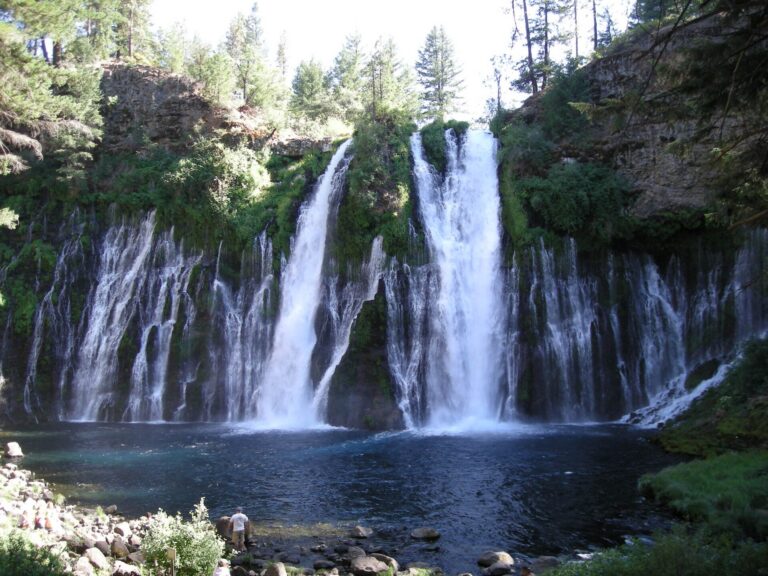
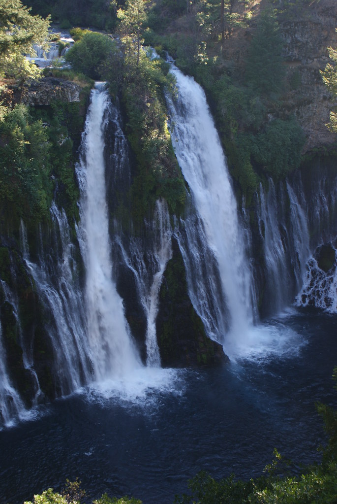
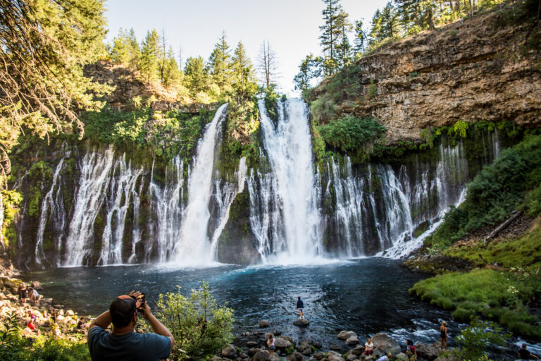
Burney Falls is a 114-foot segmented waterfall on Burney Creek in McArthur-Burney Falls Memorial State Park, Shasta County, California. Springs feed it, so it flows all year and spreads across a wide basalt cliff rather than a single chute.
The falls
The creek splits into main channels at the lip, while numerous springs pour out of the cliff face, spreading the falls across roughly 250 feet. Porous volcanic basalt in the area absorbs rain and snowmelt, releasing it through springs along the cliff. Surveys from July 2009, supported by one-meter lidar, measure the drop at 114 feet, while park publications cite 129 feet.
Getting there
The state park is on Highway 89, six miles north of Highway 299, and is open from 8 a.m. to sunset. Day use costs $10 per vehicle. For 2026, the park requires advance day-use reservations on Fridays through Sundays and holidays from May 15 to September 27, at $10 plus a $1 processing fee; same-day booking isn't available, and campers with an overnight stay don't need a separate reservation.
The Burney Falls Loop spans about 1.1 miles with 171 feet of elevation gain. In January 2026 the park closed two connecting trails for erosion: the Burney Creek Trail north of Rainbow Bridge up to the Rim Trail, and the PSEA Trail to PSEA Camp. Hikers heading toward Lake Britton use the Rim Trail instead.
When to go
Flow is perennial and strongest from March through May. Mornings are recommended, before direct midday sun reaches into the canyon.
On site
The park provides an accessible Falls Overlook picnic area with parking and restrooms, though land movement has compromised the accessible route along Burney Creek. Swimming and wading near the base of the falls are prohibited; the 2026 visitor guide points swimmers to a designated area on the lake instead. Dogs are allowed only in parking lots, on paved roads and in campgrounds, not on the waterfall trails. In July 2018 a man died after jumping from the falls, and a sheriff's dive team recovered his body.
History and name
The falls take their name from Samuel Burney, a settler who lived in the area in the 1850s. Descendants of the McArthur family protected the land around the falls and donated it to the state in the 1920s.
Nearby
Rock Creek Falls is about 3.3 miles away, Pit River Falls about 9.5 miles and East Fork Nelson Creek Falls about 10.1 miles.
Distances are straight-line.