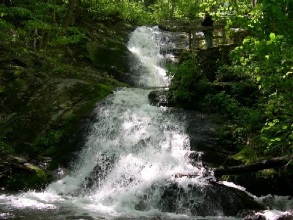
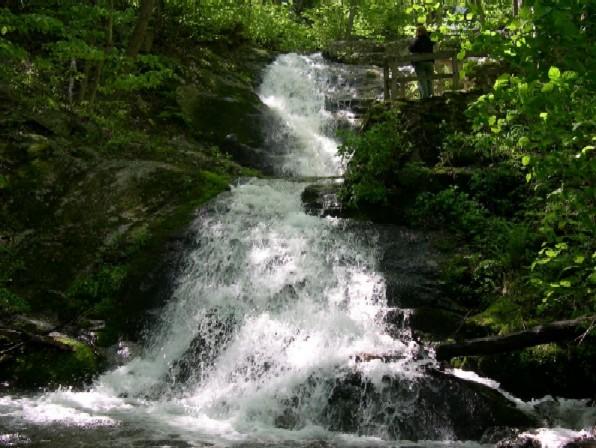
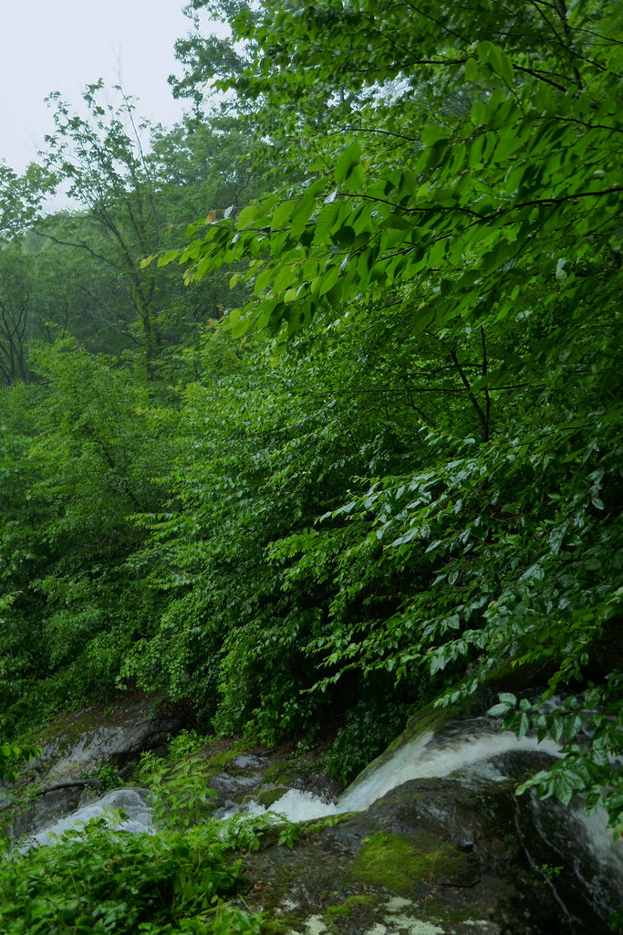
Crabtree Falls is a 1,080-foot series of cascades on Crabtree Creek in Nelson County, Virginia, off Route 56 near Montebello in the George Washington National Forest. A short paved path leads to the first overlook, and a trail climbs beside the rest of the falls to a view over the Tye River Valley.
The falls
Crabtree Creek drops through a wooded gorge in five major cascades with smaller steps between them; the tallest is about 400 feet. The Forest Service and Nelson County give the whole series as 1,200 feet. No single spot shows all of it: each overlook along the trail opens onto a different section.
Getting there
The Crabtree Falls day-use area is at 11581 Crabtree Falls Highway (Route 56) in Montebello, with upper and lower parking lots. The fee is $3 per vehicle per day, paid by card at the machine or by cash or check; America the Beautiful passes and the forest's seasonal day-use pass are accepted.
The first overlook is a short paved walk from the lot and is wheelchair accessible. Above it, the trail climbs steadily over rock steps and roots past a series of overlooks to the top of the falls. The out-and-back hike is 3.1 miles with 1,076 feet of gain; Nelson County rates it strenuous.
When to go
Flow is strongest in spring, after snowmelt and rain. Fall brings color to the hardwoods along the gorge. In winter, parts of the cascades freeze and the steps can ice over.
On site
The rocks along the creek are coated with a clear algae that makes them extremely slippery, and several people have died after leaving the trail. Stay on the trail and behind the railings, and keep out of the water. Children need close supervision at the overlooks. Dogs must be leashed.
History and name
The falls are thought to be named for William Crabtree, who settled in the area in 1777. In 1968, when a resort was planned nearby, L. A. Snead helped transfer the land to the national forest.
Nearby
White Rock Falls is about 4.2 miles away, and Saint Marys Falls about 6.1 miles.
Distances are straight-line.