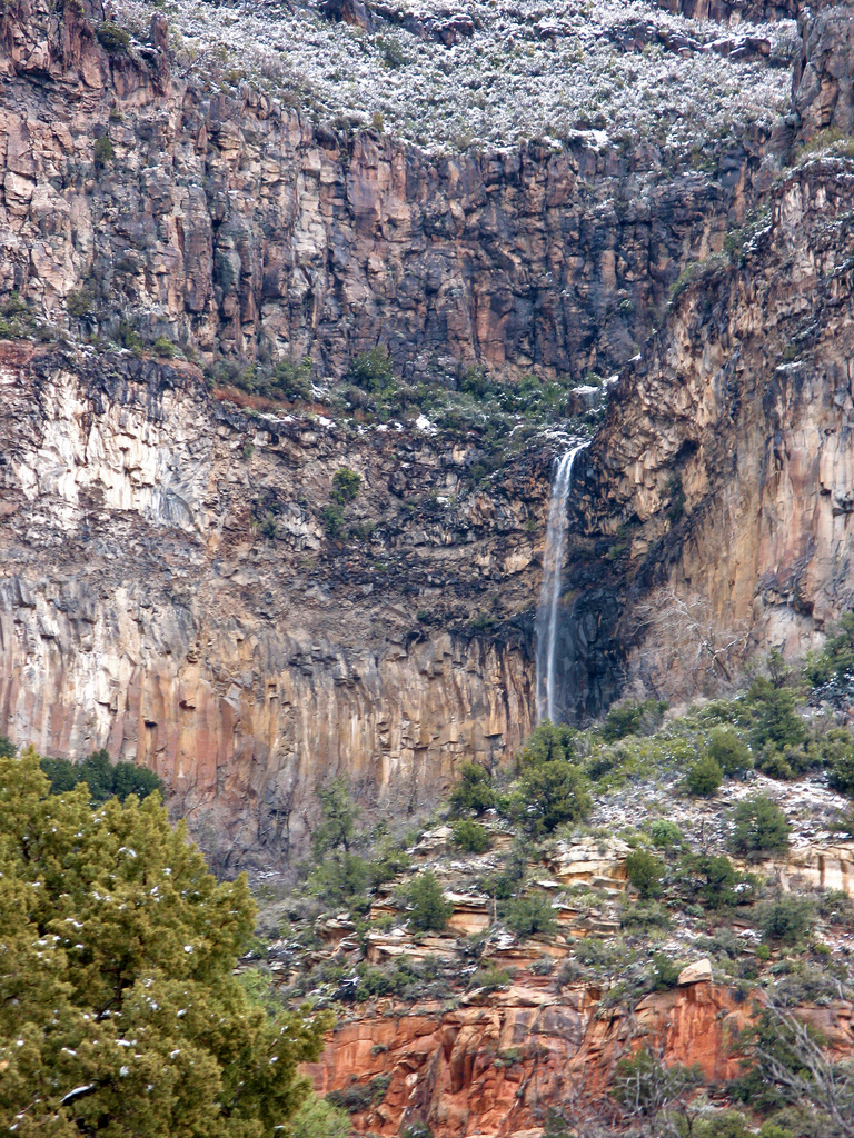
Encinoso Falls is an ephemeral tiered waterfall of about 400 feet in Coconino County, Arizona, pouring into Oak Creek Canyon across from the Encinoso Picnic Site on SR 89A. It runs only after heavy rain or snowmelt, and a July 2026 fire closure currently covers the picnic site and the creek below it.
The falls
The World Waterfall Database estimates the drop at about 400 feet from topographic data and dismisses reports of as much as 800 feet as dubious; older reports gave 840 feet. The water comes down a columnar basalt amphitheater that climbers know as The Waterfall. Encinoso Falls is an unofficial name.
Getting there
The Encinoso Picnic Area is one mile north of the Dairy Queen on SR 89A in Oak Creek Canyon, with the falls across the canyon. Climbers park there, cross Oak Creek and hike up the drainage below the amphitheater, about 30 to 45 minutes.
A closure order dated July 30, 2026, reproduced by the City of Sedona, closes the Encinoso Picnic Site and the banks of Oak Creek within 100 feet on each side, from West Fork downstream to the forest boundary, after the Pocket Fire.
When to go
The flow lasts about a month a year. Spring snowmelt off the Mogollon Rim and summer monsoon storms are when it runs.
On site
Mountain Project warns of rockfall in the amphitheater. Ropewiki documents a technical descent from the top with two mandatory rappels of 140 and 215 feet and a high-clearance shuttle; it is a canyoneering route, not a trail.
History and name
Climbers have used The Waterfall since the 1980s, and the top-down canyon route was first descended on July 29, 2024, by Eric Moorcroft, Jason First and Justin Weih.
Nearby
Slide Rock on Oak Creek is about 1.7 miles away, Angel Falls about 2.2 miles and Cookstove Draw Falls about 5.7 miles.
Distances are straight-line.