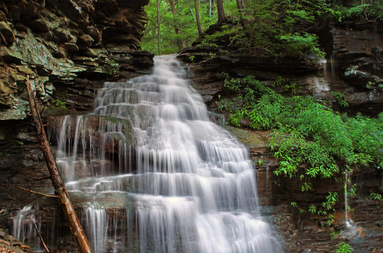
Gipson Falls is now put at 50 feet on Falls Run in the Loyalsock State Forest, Sullivan County, Pennsylvania, downstream from Angel Falls on the same creek.
The falls
A current listing shows a total height of 50 feet, though the entry there is marked unconfirmed and includes no drop count. The visible drop has also been put at about 20 feet, well above the 12-foot figure once on record. Sources consistently call it Gipson Falls.
Getting there
The route was rerouted in 2025: park at the Brunnerdale Road trailhead and follow the Loyalsock Trail about one mile north, watching for blue blazes marking the spur down to the falls. The Loyalsock Trail itself is a rugged, 59-mile state-forest trail with parking at most forest-road crossings. Pennsylvania state forests charge no entrance or day-use fee.
When to go
The hike is seasonal, best in early spring or after heavy rain. Current advisories list a closure at the Rock Run Road bridge, but nothing at Brunnerdale Road or Gipson Falls; unplanned closures can occur on state-forest roads, so it is worth checking with the district before a visit.
On site
The final approach is rugged, with steep, rocky, unmarked terrain near Falls Run.
Nearby
Angel Falls sits just upstream on Falls Run. Dry Run Falls and Dutters Run Falls are each about 2.6 miles away, and Trout Run Falls about 4.1 miles.
Distances are straight-line.