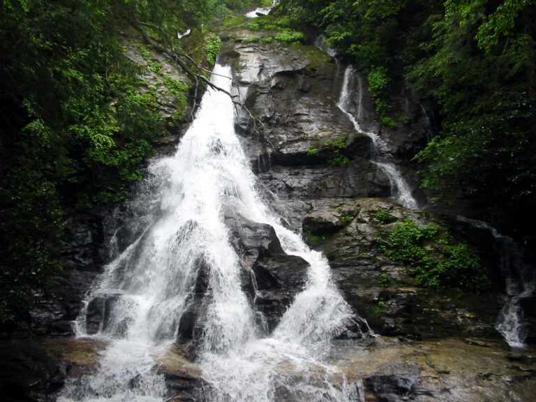
High Shoals Falls is a 145-foot waterfall on High Shoals Creek in Towns County, Georgia, sliding down in two steep cascades inside the High Shoals Scenic Area of the Chattahoochee National Forest. A 1.2-mile trail follows the creek down to an observation deck at its foot, passing a second waterfall on the way.
The falls
Lidar surveys measure the drop at about 145 feet over two tiers of steep cascades, though older inventories cited 120 feet. Only about half of the falls can be seen from the trail at the base, while the upper section sits off the trail. The scenic area covers 170 acres of the creek, with five waterfalls in succession, and lies within the Swallow Creek Wildlife Management Area.
Getting there
The trailhead is on Forest Service Road 283, also called Indian Grave Gap Road, which leaves GA 75 north of Helen at a High Shoals Scenic Area sign. The unpaved road runs 1.5 miles to a small parking area, with sharp curves and, shortly after the turnoff, a ford across the headwaters of the Hiawassee River that low cars may struggle with when the water is high. Admission and parking are free, and the area is open year-round.
The trail is 1.2 miles each way. It starts down wooden steps and switchbacks marked with green blazes, descending to High Shoals Creek at about 0.6 mile, leaving the climb for the return. Elevation difference spans about 540 feet, with difficulty rated between moderate and moderately easy.
When to go
The creek runs strongest after rain, and autumn brings colorful foliage around the falls.
On site
Two observation decks stand beside the waterfalls along the trail, one of them at the base of High Shoals Falls. About 0.3 mile past the creek crossing, Blue Hole Falls pours into a deep pool. Leashed dogs are welcome.
Nearby
Blue Hole Falls is on the same trail, about 0.1 mile away. Rogers Branch Falls is about 0.9 mile away and Maple Spring Branch Falls about 1.3 miles. The nearest town, Young Harris, is about 10.5 miles away.
Distances are straight-line.