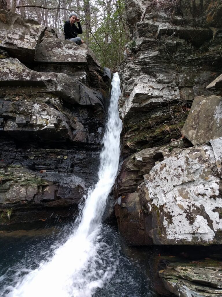
Katy Falls is a 10-foot waterfall on Katy Creek in Polk County, Arkansas, tucked into a small cove near the creek's mouth at Caney Creek in the Caney Creek Wilderness of the Ouachita National Forest. It sits on a short spur where the Buckeye Trail meets the Caney Creek Trail.
The falls
Katy Creek pours through a very narrow chute into the cove. Lidar measurements estimate the drop at no more than 10 feet in a single step, while earlier surveys listed 12 feet, a figure still used elsewhere.
Getting there
The falls lie inside the Caney Creek Wilderness, managed by the Forest Service. Both trailheads are on Forest Road 38: the East Caney Creek trailhead about 7 miles north of Arkansas 246, roughly 3.5 miles from Shady Lake Recreation Area, and the Buckeye trailhead about a mile farther. From the East Caney Creek trailhead, the Buckeye Trail junction is reached at about 3.8 miles, followed by a right turn at a second junction for the spur to the falls. That route crosses Caney Creek twice and two of its tributaries, with boots off. The full Buckeye–Caney Creek loop is 9.4 miles, including 1.1 miles of forest road, with about 1,970 feet of cumulative gain and a very strenuous rating. Wilderness trails have no regular signs or blazes, and mountain bikes and motorized equipment are prohibited.
When to go
Seasonal flow is not documented. The stream crossings can flash-flood in heavy rain, so check the forecast before starting.
On site
An unofficial campsite sits just above the falls. Rocks at the crossings can be slick; avoid crossing where water is more than waist deep.
Nearby
Little Missouri Falls is about 9.4 miles away, Cossatot Falls about 9.9 miles and Crooked Creek Falls about 11.3 miles.
Distances are straight-line.