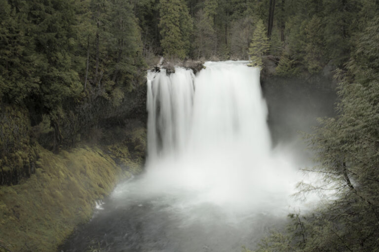
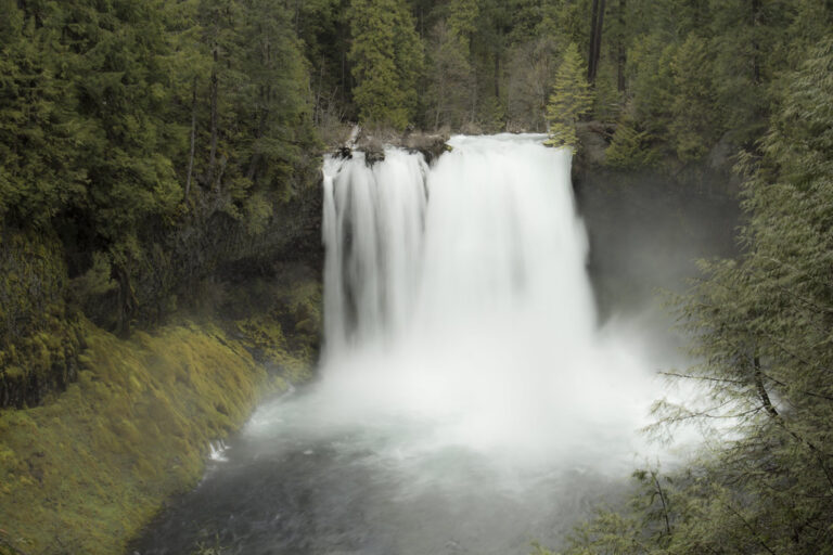
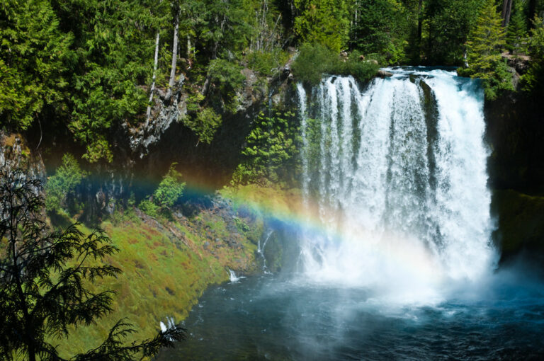
Koosah Falls is a 74-foot block waterfall on the McKenzie River in the Willamette National Forest, Linn County, Oregon. It pours over a basalt ledge into a deep pool about half a mile below Sahalie Falls, and the two are linked by a loop trail along the river.
The falls
The McKenzie drops in a single vertical sheet averaging about 60 feet wide. Fed by Clear Lake and a large network of springs, the river runs heavily all year, from about 300 to 560 cubic feet per second. At peak flow in spring and early summer the water can cover the whole ledge as a wall some 75 feet wide; by late summer it splits into separate segments. The World Waterfall Database's two surveys gave 64 and 74 feet, and lidar supports 74. Earlier accounts ranged from 80 to 120 feet.
Getting there
The falls are managed by the McKenzie River Ranger District. From Highway 126, signs for Koosah Falls and Icecap Campground lead to the parking area, and viewpoints are a short walk from the lot in either direction. Sahalie Falls has its own lot half a mile north of the Koosah turnoff; parking on the highway shoulder isn't allowed. The Waterfalls Loop Trail joins the two falls through forest along the river, an easy 2.6-mile loop with about 400 feet of gain. There's no fee, and the day-use site is open 6 a.m. to 10 p.m.
When to go
The falls run all year. March through May sees peak flow, and October brings fall color; arriving by 9 a.m. in summer is recommended. The Koosah lot is larger and often less crowded than the one at Sahalie. In winter the Forest Service doesn't clear the parking area of snow or ice.
On site
The site has viewing platforms, picnic tables and vault toilets, but no drinking water. Dogs must be on a leash no longer than six feet. The loop trail has stairs and isn't wheelchair accessible.
History and name
The falls were once called Middle Falls, the second of three major drops on this stretch of the McKenzie. Koosah is a Chinook Jargon word for "sky"; it may refer to the river's clear blue color.
Nearby
Sahalie Falls, the other end of the loop, is about 0.4 mile upstream. Tamolitch Falls, also on the McKenzie, is about 2.5 miles away, and Deer Creek Falls about 6.5 miles.
Distances are straight-line.
Sources
- worldwaterfalldatabase.com
- fs.usda.gov
- visitmckenzieriver.com
- eugenecascadescoast.org
- oregon.com
- en.wikipedia.org