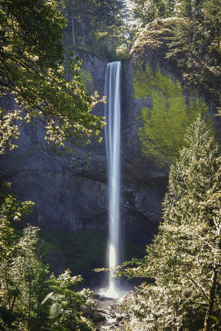
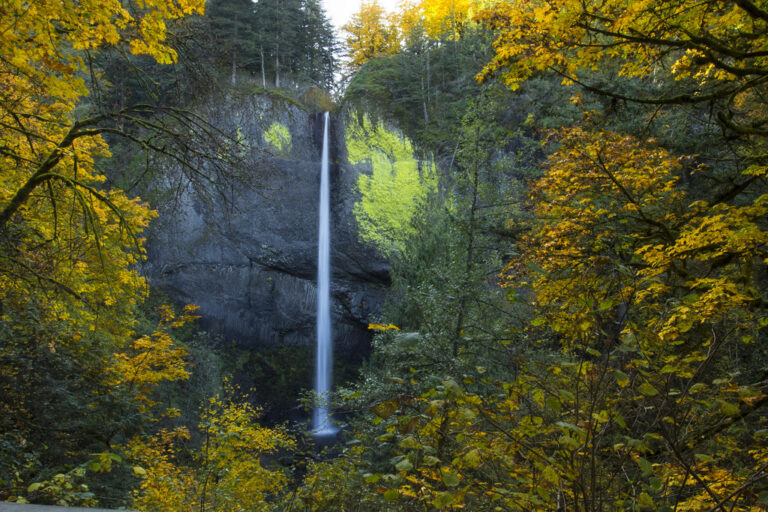
Latourell Falls is a 224-foot plunge waterfall on Latourell Creek in Guy W. Talbot State Park, Multnomah County, Oregon, in the Columbia River Gorge. It pours off a basalt cliff beside the Historic Columbia River Highway, and the lower falls are only a short paved walk from the parking lot.
The falls
Latourell Creek leaves the lip in a single vertical drop and lands in a pool framed by columns of basalt. The creek falls straight from an overhanging cliff, whereas most of its Gorge neighbors tumble down the rock. The wall to the right of the falls carries a prominent patch of chartreuse lichen. In-person surveys record a height of 224 feet with an average width of about 10 feet.
Getting there
The main lot sits on the Historic Columbia River Highway at Latourell Creek. From I-84 exit 22 at Corbett, drive about 6.1 miles to the trailhead. An overflow lot is 0.3 mile away at lower Guy Talbot State Park. Since March 30, 2026, parking requires an Oregon State Parks permit: $10 a day for residents, $12 for nonresidents, or an annual permit. It is sold online and at fee machines on site; visitors arriving on foot, by bike or by transit do not need one.
A paved, one-mile round trip leads to the foot of the lower falls and under the 1914 highway bridge. The unpaved loop past Upper Latourell Falls runs 2 to 3 miles, rated moderate with rocky stretches, four small wooden bridges, and 600 feet of gain.
When to go
The creek drains a small basin, so the falls run fullest in winter and spring and thin out later in the year.
On site
A spur trail near the lower falls adds another viewpoint. The park has restrooms, a grassy hill and a picnic shelter that can be reserved. Dogs must be on a leash. The trails stay wet and slick: in May 2026 a 72-year-old hiker slipped near Upper Latourell Falls and fell 15 feet, and the sheriff's office urged sturdy boots and caution near drop-offs. The park also asks visitors to respect the privacy of nearby residents.
History and name
The falls are named for Joseph Latourell, an early settler who became postmaster of the Rooster Rock post office in 1887; the office was later renamed Latourell Falls. Guy Webster Talbot and Geraldine Talbot gave their 125-acre summer estate to the state in 1929, and the Civilian Conservation Corps developed the park between 1933 and 1935. The Latourell Creek Bridge is part of the Historic Columbia River Highway National Historic Landmark.
Nearby
Upper Latourell Falls lies 0.5 mile upstream on the loop trail. Shepperds Dell Falls is 1.2 miles away, and Bridal Veil Falls is about 2.2 miles away.
Distances are straight-line.