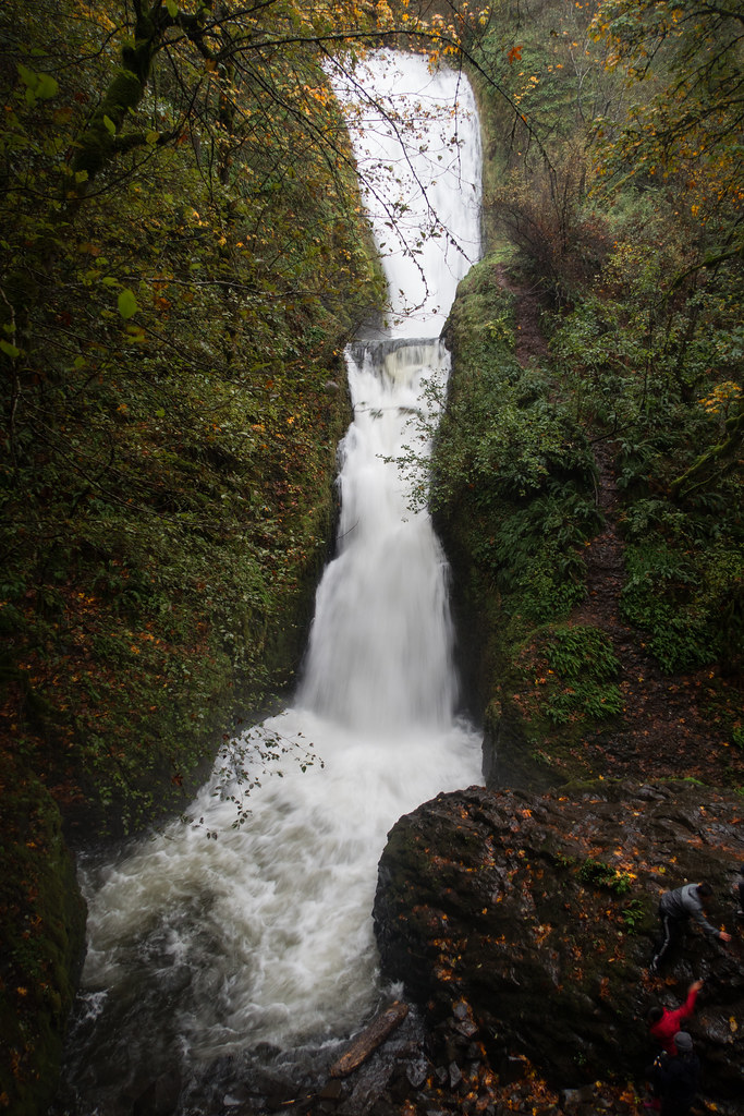
Upper Bridal Veil Falls is an 80-foot curtain waterfall on Bridal Veil Creek in the Columbia River Gorge, Multnomah County, Oregon. The World Waterfall Database, which re-surveyed and measured it in 2017, describes it as the uppermost in the series of falls the creek makes on its way down the west flank of Larch Mountain.
The falls
The creek goes over a broad basalt ledge in a single sheer drop, spreading 40 to 50 feet wide at the lip. Below it the water runs down a long sliding cascade that is hard to see in the same view as the main drop. The creek drains about 6.3 square miles of Larch Mountain and flows all year.
Getting there
No maintained trail or official visitor page leads to this waterfall. A 2010 trip report describes an off-trail approach from Palmer Mill Road and a very steep descent to the base. The developed stop on the creek is Bridal Veil Falls State Scenic Viewpoint downstream, which since March 30, 2026 requires a day-use parking permit ($10 residents, $12 nonresidents).
When to go
The creek flows in every month, with the volume strongest for about seven months of the year.
On site
Loose stones lie hidden under ferns and forest duff on the steep slope to the base.
History and name
Upper Bridal Veil Falls is the historical name. In the early 1900s a logging flume ran down the right side of the canyon beside the falls; no trace of it remains. Many early photographs mislabeled this waterfall as the lower Bridal Veil Falls.
Nearby
Middle Bridal Veil Falls is about 0.3 mile away and Bridal Veil Falls, in the state park, about 0.7 mile. Coopey Falls and Shepperds Dell Falls are each about 1.2 miles away.
Distances are straight-line.