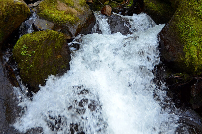
Lower Shellburg Falls is a 40-foot tiered plunge waterfall on Shellburg Creek in Santiam State Forest, Marion County, Oregon. It lies a short way downstream of the much taller Shellburg Falls, where the creek passes under an old forest road.
The falls
The creek slips under the road and then drops in two steps over the basalt wall of its canyon, with a total height of 40 feet, a tallest drop of 20 feet and an average width of about 10 feet. Seen from the road, the upper tier appears to fall into a jumble of rock and wood and vanish underground, then reappear as the lower tier.
Getting there
The Oregon Department of Forestry manages the area as part of Santiam State Forest. The old approach from the lower trailhead on Fern Ridge Road, which once led up a gravel road to the bridge above the falls, is permanently closed: after the 2020 fire, neighboring landowners filled the parking area with gravel and posted No Trespassing signs. Access to the Shellburg area is now from the upper side via Wagner Road from Mehama, on gravel roads that logging can block. A February 2026 local report quoted the department saying the Shellburg-area trails had reopened after winter storm cleanup, with burned ground and fallen trees still calling for care; check the forest's trail status before driving out.
When to go
The creek is fed by runoff, so winter and spring bring the best flow. In summer it runs very low, though it has not been seen to dry up.
On site
The best views are from the road near the bridge, past the second gate. A head-on view requires scrambling down the steep slope beside the falls; there is no built trail to the base.
History and name
The area burned in the 2020 Beachie Creek fire and reopened to visitors in May 2024.
Nearby
Shellburg Falls is about 0.2 mile upstream on the same creek, Stasel Falls on Stout Creek about 0.4 mile away, and Ayers Creek Falls about 1 mile. The town of Lyons is about 2.5 miles to the south.
Distances are straight-line.