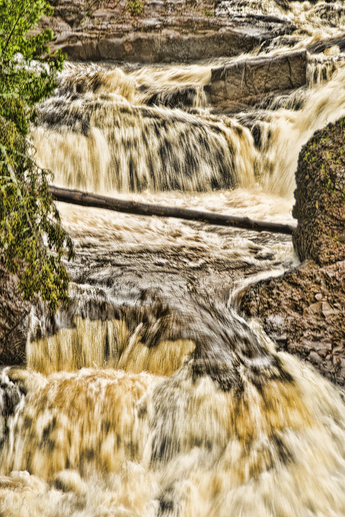
Potato River Falls is a 90-foot tiered waterfall on the Potato River near Gurney in Iron County, Wisconsin. The river drops over four steps in a county forest park, and stairways lead down to both the upper and the lower falls.
The falls
The river descends in a series of steep falls and cascades with a combined drop of about 90 feet, the tallest step about 35 feet. The four steps are spread over roughly 530 feet of river, in two pairs: the upper two and the lower two sit close together, with about 220 feet of river between the groups. Like other rivers in the region's glaciated forest, the Potato steps down over old bedrock ledges, and its water runs dark with tannin.
Getting there
The falls sit in a park run by the Iron County Forest, and admission is free. From US 2, take Highway 169 south for 2.8 miles to Gurney, then west on Falls Road for 1.5 miles. From there, 131 steps lead to the upper falls and 204 to the lower falls. The walk is about 0.8 mile out and back with 216 feet of gain, rated moderate.
When to go
Spring runoff and autumn color are high points, and April through October is the recommended season.
On site
Dogs are allowed on leash. The park has five rustic campsites, taken first come, first served after registering with the county, with a 14-day limit, an outhouse and no water or electricity. The gravel access road isn't suitable for trailers longer than 30 feet.
History and name
The rocks here drew geologists as well: a geologic study sampled the Nonesuch Shale at the falls near Gurney.
Nearby
Foster Falls, also on the Potato River, is about 4.3 miles away, and Upson Falls, on the same river, about 7.7 miles. Wren Falls on the Tyler Forks River is about 4.5 miles away.
Distances are straight-line.