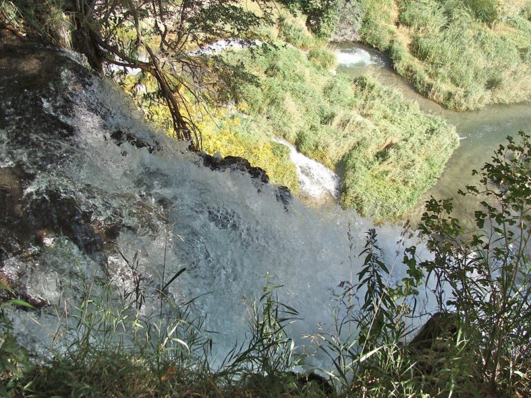
Rifle Falls is a 65-foot segmented waterfall on East Rifle Creek in Rifle Falls State Park, Garfield County, Colorado, where the creek pours over a travertine ledge in three side-by-side plunges. Small limestone caves in the cliff beside the falls make it more than a quick viewpoint stop.
The falls
Lidar data puts the drop at about 65 feet; Colorado Parks and Wildlife describes three 60-foot falls, and earlier surveys listed 70 feet. The ledge itself is travertine, built up as the creek redeposits limestone it has dissolved upstream.
Getting there
The park is managed by Colorado Parks and Wildlife at 5775 Highway 325, northeast of Rifle and about 9.2 miles north of Silt. The falls sit about 50 yards from the parking area. The Coyote Trail, 1.5 miles and unpaved, is ADA accessible as far as the base of the falls; the 1-mile Bobcat Trail climbs up to and above the falls.
The park is open daily from 6 a.m. to 10 p.m., with no closures posted. A daily vehicle pass costs $10–$12 for Colorado plates and $15–$17 for out-of-state vehicles, or $4 per person; the $29 Keep Colorado Wild Pass and the annual park passes also cover entry. Trailers and RVs can't park without a campsite reservation.
When to go
The falls flow year-round. The park reaches capacity most weekends and often has to turn visitors away.
On site
Behind and beside the falls, the limestone cliff holds small caves that visitors can enter; bring a light. Three bat species live in them. Leashed dogs are allowed on park trails but not in the neighboring state wildlife area. The park has 20 campsites, and anglers catch rainbow and brown trout in the creek.
History and name
The falls were once a single wide curtain. The Rifle Hydroelectric Plant, built in 1910, changed the creek's course and split it into the three falls seen today. The site became a state park in 1966.
Nearby
Canyon Creek Falls is about 16.5 miles away, East Fork Falls about 18.6 miles and Ben Good Creek Falls about 18.8 miles.
Distances are straight-line.