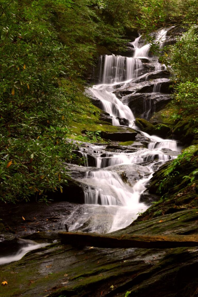
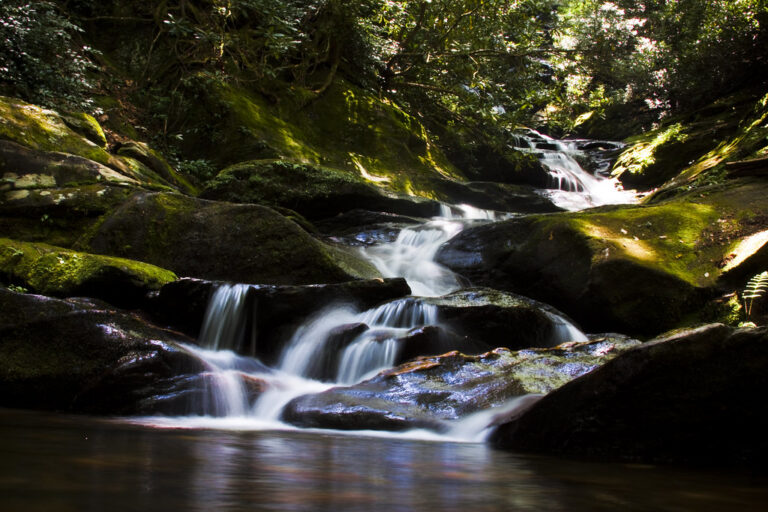
Roaring Fork Falls is a 90-foot steep cascade on Roaring Fork in the Pisgah National Forest, Yancey County, North Carolina, reached by a short walk from NC 80 just below the Blue Ridge Parkway. The trail reopened in May 2025 after Hurricane Helene.
The falls
Roaring Fork, also called Roaring Creek, is a tributary of the South Toe River. At the falls it rushes down a narrow, zigzag slide of rock through rhododendron and eastern hemlock. The World Waterfall Database, using lidar data, measures the cumulative drop at about 90 feet; older surveys gave 45 feet. Other accounts describe a 30-foot slide, and some give 100 feet as the length of the cascade.
Getting there
From the Blue Ridge Parkway at Milepost 344.1, between Little Switzerland and Mount Mitchell, drive north on NC 80 for about 2.3 miles and turn left onto South Toe River Road (FS 472), just before the Mount Mitchell Golf Course. After 0.1 mile, take the first left at the Roaring Fork Falls sign and park near the gate at the Forest Service work center; parking is limited. Much of the walk follows a wide gravel road. The hike is an easy 1-mile round trip with about 110 feet of elevation change.
Hurricane Helene closed the trail in 2024; it reopened in May 2025.
When to go
The cascade is at its best after rain. Arriving early in summer, in fall and on weekends is recommended.
On site
The rocks around the falls are steep, wet and often mossy, and they are slickest after rain, when the flow is strongest. The pool at the base is shallow and rocky and not suited to swimming. Leashed dogs are allowed. There are no restrooms or drinking water at the trailhead.
History and name
The approach passes concrete bunkers that were once used to store explosives.
Nearby
Setrock Creek Falls is about 2.1 miles away, though it and Black Mountain Campground remain closed after Helene. Armstrong Creek Falls is about 3.1 miles away and Crabtree Falls about 4.7 miles. Mount Mitchell and the Blue Ridge Parkway are close by for a longer day.
Distances are straight-line.