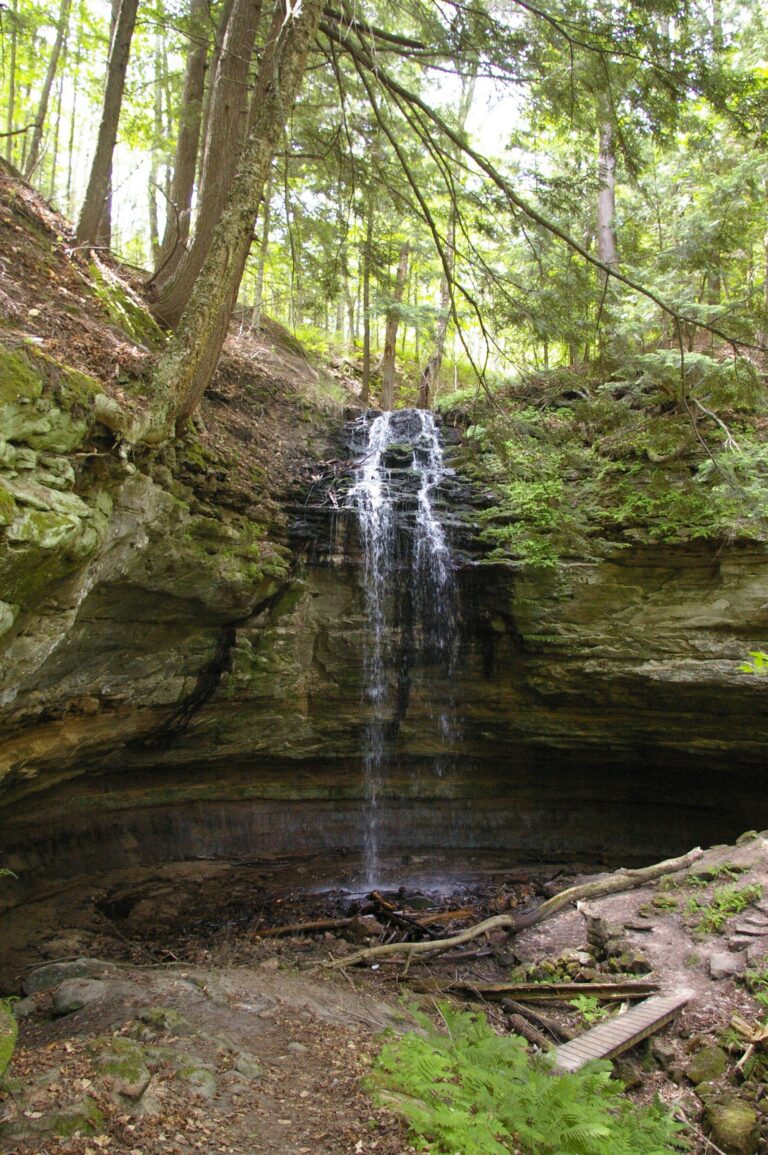
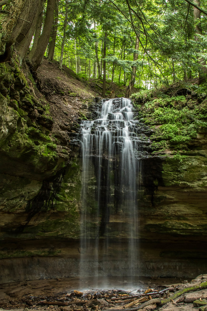
Tannery Falls is a 50-foot plunge waterfall on Tannery Creek in Alger County, Michigan, near Munising. It shares the Michigan Nature Association's Twin Waterfalls Memorial Plant Preserve with Memorial Falls, and the whole preserve is currently closed to visitors.
The falls
Tannery Creek flows behind a small residential area, then drops in a single leap into a sandstone canyon, with a cave behind the falls. The rock is a hard Au Train caprock resting on softer Munising Formation sandstone. The World Waterfall Database estimates the drop at about 50 feet from lidar data; older estimates gave 40 feet.
Getting there
The Michigan Nature Association owns the land and has closed the preserve to all visitors; its website shows the closure runs through 2028. Before the closure, a trail network of about half a mile began at Nestor Street, with parking on Cleveland Street. No other legal route to the falls is published.
When to go
The creek runs strongest during spring snowmelt, drops low in dry summers and builds columns of ice in winter. The volume depends on snowmelt and rainfall.
On site
Wikipedia calls it one of the less-advertised and less-maintained falls around Munising. While the closure lasts, there is no permitted viewpoint.
History and name
The land was privately owned until the Michigan Nature Association bought it as a preserve in 1986. The waterfall is also known as Rudy Olson Falls, after an association member, and the name Rudy M. Olson Memorial Falls also appears; Rudolf Olson's grave marker stands near the old trail entrance.
Nearby
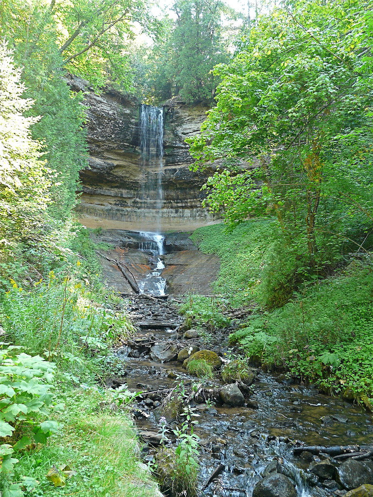
Memorial Falls, in the same closed preserve, is about 0.1 mile away, Munising Falls about 0.6 mile and Horseshoe Falls about 1.1 miles. The town of Munising is about 1.1 miles away.
Distances are straight-line.