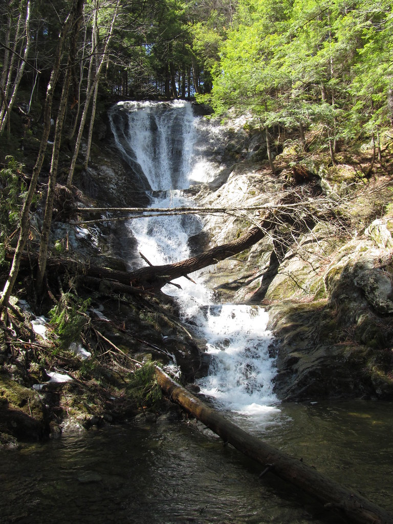
Tannery Falls is an 81-foot tiered waterfall on Ross Brook in Savoy Mountain State Forest, Berkshire County, Massachusetts. A short trail with a steep wooden staircase leads to its base in a hemlock glen shared with neighboring Parker Brook Falls.
The falls
Ross Brook slides down a smooth cliff in two horsetail drops, the taller about 45 feet, with a small pothole pool notched into the rock between them. Field surveys measure the total drop at 81 feet, while trail guides quote 70 to 75 feet. Above the falls the brook runs through a shallow gorge about 300 feet long with smaller cascades, and below it joins the Cold River about a mile downstream. From the bottom of the glen both Tannery Falls and Parker Brook Falls can be seen dropping side by side, though trees partly hide Parker Brook Falls.
Getting there
The walk begins from Tannery Road as a 0.5-mile round trip rated easy to moderate, following blue blazes along a walkway and down wooden steps to the base with about 189 feet of climbing. A parking lot on the north side of Tannery Road accommodates roughly two dozen cars. Tannery Road is seasonal, typically open June 1 to December 31. An extended loop of about one mile also takes in Parker Brook Falls.
When to go
Ross Brook runs year-round on runoff, carrying roughly 5 cubic feet per second during peak flow and tapering to about 1 cubic foot per second in low-water periods. In December, and sometimes late November, ice builds up on the staircase, and trail accounts recommend microspikes.
On site
The trail reaches the top of the falls in about a fifth of a mile, then descends a steep staircase to the base. Swimming and rock climbing are prohibited, and hikers must stay on the trail on the steep gorge slopes. Dogs are allowed on a leash.
History and name
Also known historically as High Falls, the present name recalls a tannery built near the falls in 1843, which used bark from local eastern hemlocks as a source of tannic acid for making leather.
Nearby
Parker Brook Falls is a separate waterfall on the neighboring brook in the same glen. Twin Cascade is about 3.6 miles away, Windsor Jambs Falls about 7.1 miles and Money Brook Falls about 8.9 miles.
Distances are straight-line.