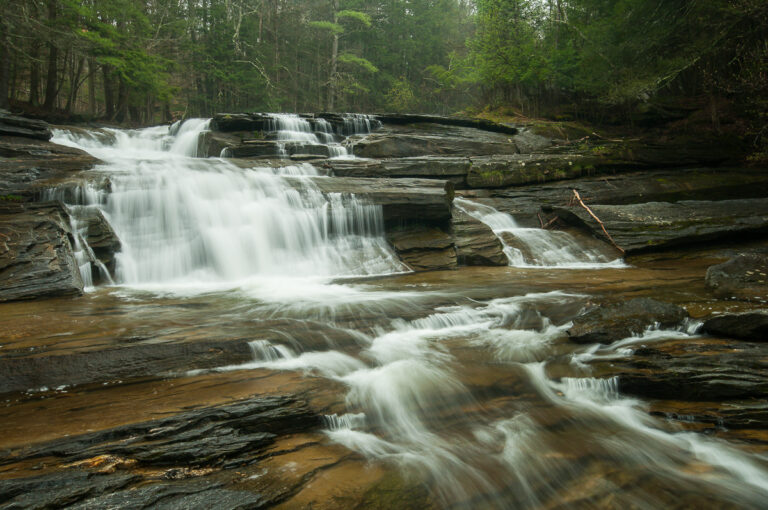
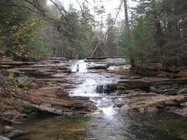
Umpachene Falls is a 27-foot tiered waterfall on the Umpachene River in New Marlborough, Berkshire County, Massachusetts, where the river slides down to meet the Konkapot River. The falls are the centerpiece of a small town park that is reserved for New Marlborough residents and their guests.
The falls
The Umpachene River comes down in a series of steep cascades and slides through evergreen woods, emptying into the Konkapot at the foot of the falls. The total drop is 27 feet in two steps, the tallest about 18 feet. Earlier surveys listed 30 feet. Other published figures vary: one guide gives 40 feet, and another describes about 20 feet of drop spread over a cascade some 60 feet long.
Getting there
Umpachene Falls Park is run by the town and is for New Marlborough residents and their guests only; the groundskeeper, if on site, may let visitors in who ask. Admission is free. The approach is via Hadsell Street and then 0.4 mile on the dirt Umpachene Falls Road to the park entrance, where a gravel lot holds about 15 cars. From there a dirt path crosses a wooden bridge to the falls, about 300 feet away; it is an easy 0.2-mile round trip with 39 feet of climbing. When the gate is closed, only about two cars fit outside.
When to go
May to October is the recommended season.
On site
The park has picnic tables, grills, a swing set and a portable restroom. Swimming is allowed: the Konkapot here runs slow with a soft, sandy bottom and is popular with children, and visitors also wade in the pools along the cascades. The Konkapot is stocked with trout. Dogs are allowed, on a leash. The path to the falls isn't wheelchair accessible, and there are ticks and poison ivy.
History and name
The falls take their name from Aaron Umpachene (1676–1751), a Mohican leader whose village stood on Vosberg Hill in south Great Barrington. His people may have used this area seasonally for hunting and gathering.
Nearby
Campbell Falls on the Whiting River is about 3.8 miles away, Race Brook Falls about 7.7 miles, and Buttermilk Falls on the Blackberry River in Connecticut about 7.8 miles.
Distances are straight-line.