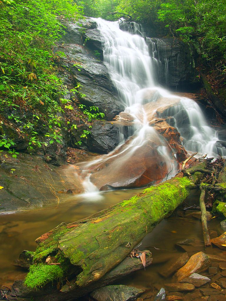
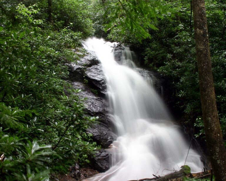
Log Hollow Falls is a 35-foot horsetail waterfall on Log Hollow Branch in Pisgah National Forest, Transylvania County, North Carolina. It sits half a mile down a gated forest road off Headwaters Road, receiving relatively few visitors despite the straightforward walk.
The falls
Lidar data indicates a single drop of about 35 feet. Earlier surveys listed a tallest drop of 30 feet across two drops, and other references also record 30 feet. The water comes down as a steep cascade with a couple of short free-falling sections into a pool at the base. An upper falls lies a short way upstream.
Getting there
From Brevard, take US 276 north about 10.3 miles into Pisgah National Forest, past Looking Glass Falls and Sliding Rock, then turn left onto Headwaters Road (FS 475B, gravel). After about 1.6 miles, at a sharp curve, a gated road, FS 5043, leaves the road; park at the small pull-off without blocking the gate. The walk covers 1 mile round trip with less than 100 feet of gain, taking about an hour. Follow the old logging road rather than the blue-blazed Senard Ridge Trail. The road crosses Log Hollow Branch on two wooden bridges, at about 0.19 and 0.48 mile; the falls come into view on the right from the second. A 0.1-mile spur continues upstream to a view of the upper falls.
When to go
Spring brings the fullest flow; autumn has lower water and fall color. Snow and ice can close Headwaters Road, typically January through March, which cuts off the trailhead.
On site
A short path drops from the road to the base and its pool. The rocks around the pool are slippery even in dry weather. Dogs are allowed on a leash. There is no trash service at the trailhead.
Nearby
South Tributary Log Hollow Falls is about 0.2 mile away and North Tributary Log Hollow Falls is about 0.3 mile away, both on side streams of Log Hollow Branch. Sliding Rock, passed on the drive in along US 276, and Skinny Dip Falls are each about 1.5 miles away.
Distances are straight-line.