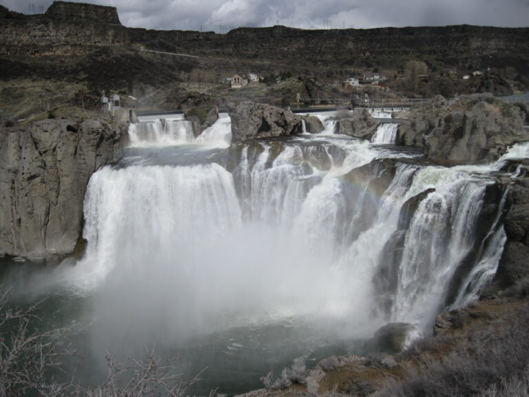
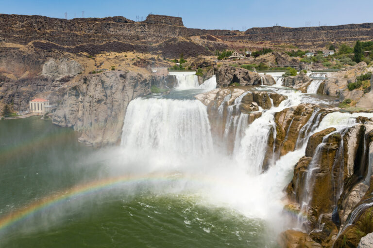
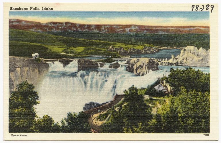
Shoshone Falls is a 212-foot segmented waterfall on the Snake River in Twin Falls County, Idaho, where the river pours over a horseshoe-shaped rim about 925 feet wide. Long called the "Niagara of the West," it drops 45 feet farther than Niagara Falls, and its overlooks sit in a city park near Twin Falls.
The falls
The falls drop 212 feet in two steps, the tallest 165 feet. In high water the rim becomes one broad sheet; at low water it breaks into three or four separate streams, the northern one known as Bridal Veil Falls. The canyon was cut by the Bonneville Flood roughly 14,500 to 17,000 years ago, through rhyolite about 6 million years old.
Upstream dams divert much of the Snake for irrigation, and Idaho Power's 1907 plant at the falls takes up to 950 cubic feet per second. A minimum scenic flow of 300 cubic feet per second is maintained from April through Labor Day; in dry summers the falls can run almost dry.
Getting there
The park is at 4155 Shoshone Falls Grade Road, reached by Falls Avenue east of the Twin Falls Visitor Center at the south end of the Perrine Bridge, then a narrow, winding road down into the canyon. The main viewing platform is about 75 feet from the nearest parking, and there are five pull-through spaces for RVs.
The city charges $5 per vehicle in season, or $25 for a season pass; in 2026 the ticket booth reopened on April 1, staffed from 11 a.m. to 5 p.m. The park is open dawn to dusk all year but closes temporarily when the road is in poor condition.
When to go
In typical years the city expects spring flows to peak between 10,000 and 12,000 cubic feet per second. Each spring the Bureau of Reclamation also releases reservoir water to help young salmon and steelhead migrate; in May 2026 that lifted the falls from about 400 to about 4,000 cubic feet per second until May 18. By late summer irrigation and drought cut the flow sharply.
On site
The platform is wheelchair accessible. Leashed dogs are welcome except on the grassy area at Dierkes Lake, where swimming is popular. The paved Canyon Rim Trail runs more than 8 miles west along the canyon, and a trail of about a mile leads to Evel Knievel's jump site. Camping is not allowed.
History and name
The falls were the upstream limit of salmon and a Native fishing and trading place. Bishop Augustin-Magloire Blanchet called them Canadian Falls in 1847; in 1849 Lt. Andrew Lindsay and artist George Gibbs chose the name Shoshone Falls. When the gates of Milner Dam closed on March 1, 1905, the falls went dry that night. On September 8, 1974, Evel Knievel tried to rocket across the canyon about a mile west of the falls and landed on the south bank with a broken nose.
Nearby
Bridal Veil Falls is about 0.2 mile away, Pillar Falls about 1.6 miles, and Twin Falls about 2.3 miles.
Distances are straight-line.