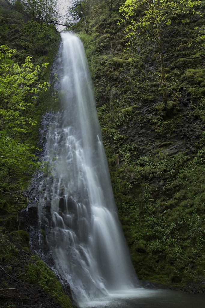
Shotgun Falls is a 96-foot plunge waterfall on Shotgun Creek in Clackamas County, Oregon, in the Molalla River corridor southeast of Molalla. It sits a few minutes' walk from the paved Molalla Forest Road, and the World Waterfall Database lists it as the only catalogued waterfall in the Molalla River basin.
The falls
Shotgun Creek drops in a single 96-foot plunge over basalt, about 10 feet wide on average. A separate lower falls of about 15 feet lies roughly 100 feet downstream.
Getting there
Directions to the Molalla River Recreation Area run from Molalla via OR 211 and Dickey Prairie Road, then onto Molalla Forest Road across the Glen Avon Bridge. Parking is at Ivor Davies Wayside, a wide turnout on the right side of Molalla Forest Road just before a cliff lines the road. From there it's about 200 feet up the road to the creek, then a path along the right bank to the lower falls; reaching the main falls takes a scramble up the slope to the right. The round trip is about 1/8 mile.
When to go
Winter and spring are the recommended seasons. Shotgun Creek drains a small area, so flow drops through the year and may shrink to a trickle in late summer.
On site
A short walk leads to the base of the falls. Restrooms are located at the Hardy Creek Trailhead, about 2 miles before the falls. Log trucks use the road often, and there is no cell service in the corridor.
Nearby
Bear Creek Falls is about 2.4 miles away, Fall Creek Falls about 4.1 miles and Horse Creek Falls, where Horse Creek meets the Molalla River, about 4.4 miles. The corridor also has more than 20 miles of trails for hikers, cyclists and horse riders, plus walk-in camping at Three Bears and Cedar Grove.
Distances are straight-line.