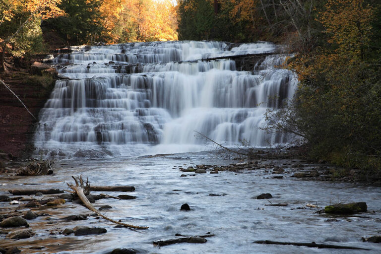
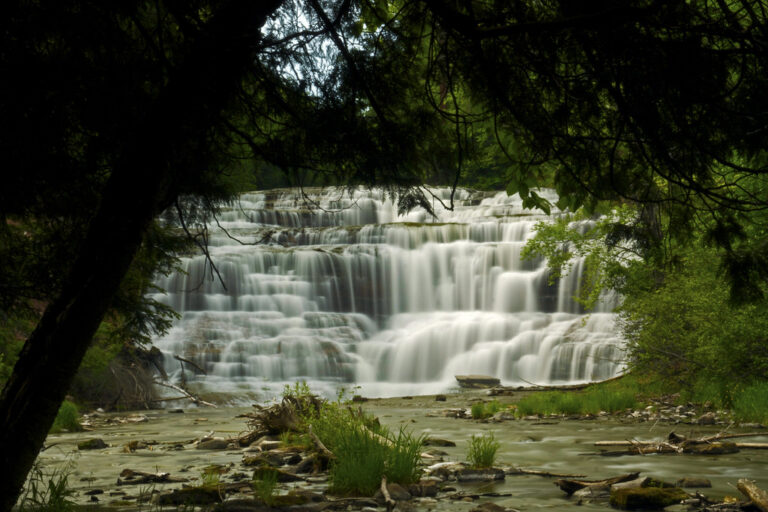
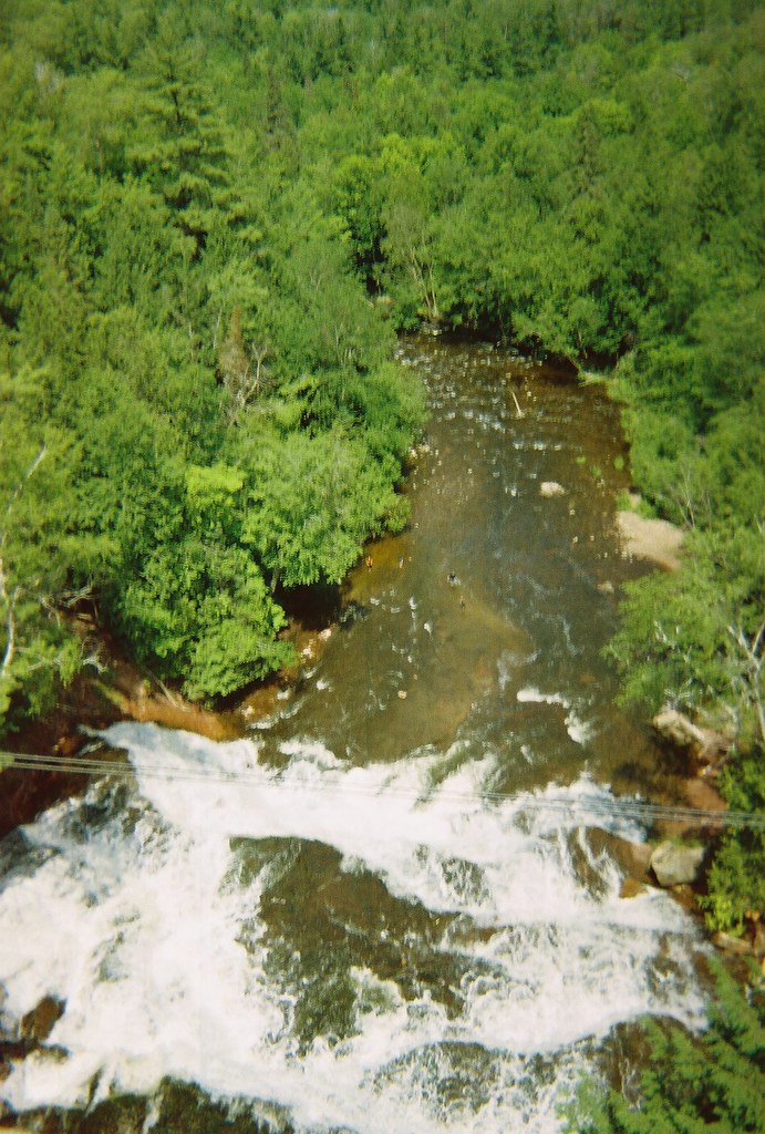
Agate Falls is a 60-foot tiered cascade on the Middle Branch Ontonagon River in Ontonagon County, Michigan, in the western Upper Peninsula. The river breaks over terraced sandstone just below a steel railroad trestle, and the Michigan Department of Natural Resources runs the Agate Falls Scenic Site beside M-28 with a short trail to an overlook.
The falls
Three steps total about 60 feet, the tallest 35 feet, spread across a breadth of 80 to 100 feet depending on flow. Earlier surveys listed 40 feet, close to the DNR's own "nearly 40 feet"; a 2007 federal river plan gave 80. Average flow is about 100 cubic feet per second at high water and 55 at low water. The trestle spans the river just upstream of the drop.
Getting there
Park at the MDOT rest area on M-28, 7 miles southeast of Bruce Crossing or 4 miles west of Trout Creek. From there, a half-mile trail passes through a tunnel under the highway to a viewing platform at the crest; a 2022 GPS track measured 0.3 mile round trip with about 50 feet of gain and rated it easy.
A Michigan Recreation Passport is required for vehicles. In 2026 it costs Michigan residents $15 when added at license-plate renewal; nonresidents pay $12 a day or $42 a year.
When to go
Vehicle access typically runs from mid-May to mid-October, depending on weather. The trail stays open all year, but it isn't groomed or monitored for snow and ice in winter.
On site
The crest-view platform is accessible, and the site has a picnic area, grills and vault toilets. Dogs are allowed on leash and informal paths down to the base are unmaintained and hazardous; stay on the built trail. The site has reopened after a closure, but the off-road vehicle route across the trestle remains closed.
History and name
The steel railroad trestle above the falls was built in 1900 by the Lassig branch of the American Bridge Company.
Nearby
Bond Falls, on the same river, is about 5.3 miles away. Little Falls is about 7.2 miles and Onion Falls about 8 miles.
Distances are straight-line.