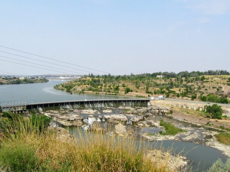
The Missouri River drops 26 feet at Black Eagle Falls, in Cascade County, Montana, the uppermost of the five Great Falls of the Missouri.
The falls
Black Eagle Dam diverts most of the river's normal flow over the drop, though spring snowmelt can substantially increase the water going over the falls. Lewis and Clark are said to have called it Upper Pitch, and the name Black Eagle Falls was in use by 1877; NorthWestern Energy instead credits Meriwether Lewis himself, saying he named the falls in 1805 after seeing an eagle nest on a nearby cottonwood island.
Getting there
A paved section of the city's River's Edge Trail runs near the falls, with 13 trailheads including Black Eagle Memorial Island and views of the dam and its hydroelectric turbines. In 2026 the west-bank rail crossing at Calumet remained closed, and trail managers were studying alternate access. Distance and elevation gain to the best viewpoint, fees, hours and permits are not documented.
When to go
Flow rises with spring snowmelt. A 2026 drawdown of the Missouri River below the dam was scheduled through about mid-September, leaving the exposed riverbed unsafe for people and pets.
On site
The trail gives views of the dam and its turbines. Outside drawdown periods, swimming rules, direct access to the base and any death or rescue history specific to the falls are not documented.
Nearby
Colter Falls is about 2.5 miles away, Rainbow Falls about 2.8 miles, and Crooked Falls on the Missouri River about 3.2 miles. Big Falls is about 7.3 miles away.
Distances are straight-line.