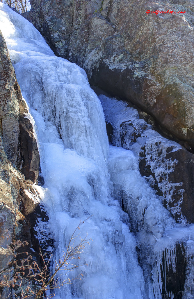
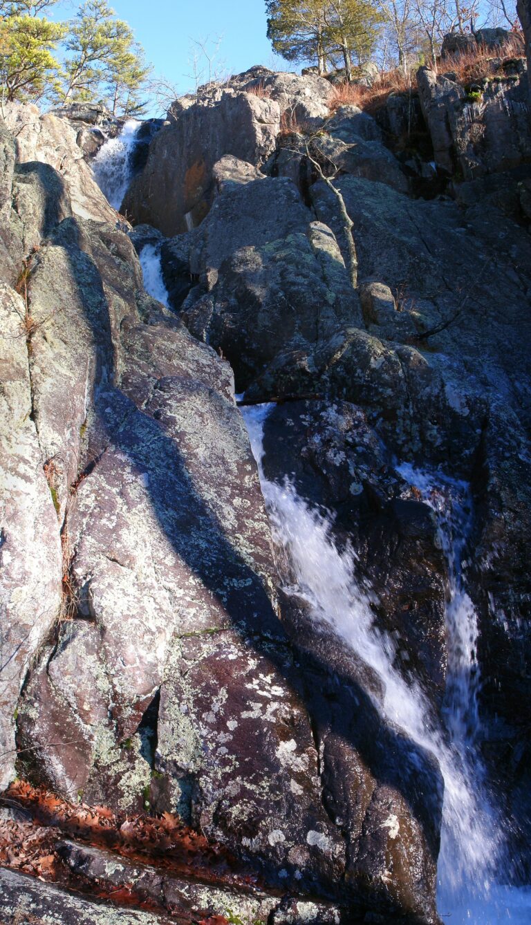
Mina Sauk Falls is a 95-foot tiered waterfall on a tributary of Taum Sauk Creek in Taum Sauk Mountain State Park, Iron County, Missouri, below the state's highest summit. Missouri State Parks calls it the tallest waterfall in Missouri, and it runs well only in wet weather.
The falls
The water slides and cascades down a series of rock ledges into Taum Sauk Creek. Lidar data puts the drop at about 95 feet, while earlier surveys listed 132 feet. About 450 feet upstream from the top of the main fall is a separate 18-foot drop, which may have been counted in the older total.
Getting there
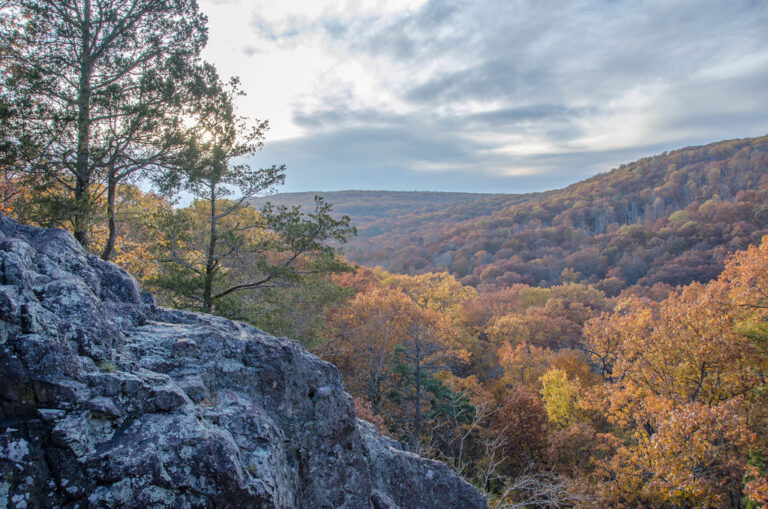
The park is on Highway CC near Ironton. The official route is the Mina Sauk Falls Trail, a 2.9-mile loop marked with red blazes that is rated rugged and takes just under three hours. It starts on a paved, wheelchair-accessible path to the top of Taum Sauk Mountain, at 1,772 feet the highest point in Missouri, then turns into rocky natural tread through oak-hickory woods and open glades with views over the St. Francois Mountains. The loop passes along the top of the falls and climbs back up the mountain to the trailhead. For about a mile it shares tread with the Taum Sauk Section of the Ozark Trail, which continues down the valley from the falls.
State parks charge no entrance or parking fee, and the grounds are open from sunrise to sunset year-round.
When to go
It is a wet-weather waterfall that flows best after rain. In wet weather hikers may also have to cross water on the trail.
On site
The trail follows the top of the falls, with bluffs and drop-offs beside the path, shifting and slippery rock and grades steeper than 10 percent. The loop is strenuous, and carrying plenty of water is advised. Beyond the summit it isn't suitable for wheelchairs. Dogs are allowed on a leash no longer than 10 feet.
History and name
Evangeline Falls is recorded as another name, and an old legend of Mina Sauk tells of lightning creating a spring on the mountain.
Nearby
Johnsons Shut-ins, on the East Fork Black River, is about 5.6 miles away. Farther afield are Hickory Canyon Falls at about 32.2 miles and Rocky Falls at about 41.4 miles. Ironton, the nearest town, is about 6.7 miles away.
Distances are straight-line.
