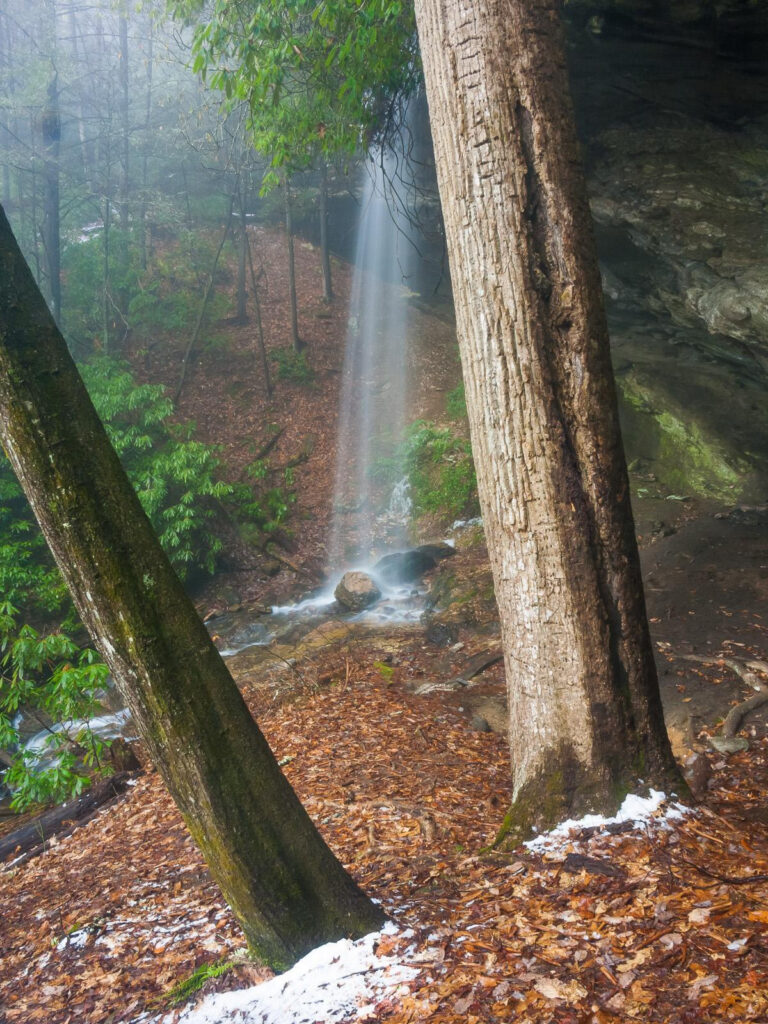
Picklesimer Rock House Falls is a plunge waterfall on a tributary of Abes Creek in Macon County, North Carolina, with a lidar-based height of about 120 feet over two steps.
The falls
The lower step drops 85 feet in front of a deeply undercut rock alcove; lidar data indicates a cumulative two-step drop of about 120 feet, an unconfirmed estimate. Older measurements gave the visible plunge as 40 feet and the total height as 45 feet.
Getting there
From Highlands, the route runs south on NC 28 for 5.8 miles, then right onto Blue Valley Road for 3.6 miles; keep left at the junction and continue 0.6 mile to the old-road trailhead, on federally owned land. The walk to the falls is an easy 1.2-mile round trip with 177 feet of ascent.
When to go
The falls run best after recent rainfall and weaken noticeably in dry weather.
On site
Visitors can walk behind the falls' alcove. General safety guidance calls for staying on established paths and avoiding climbing or wading above the falls.
History and name
The shelter behind the falls has been used for hundreds of years; the origin of the Picklesimer name is not documented.
Nearby
Glen Falls is about 1.2 miles away. Brooks Creek Falls is about 1.9 miles, and Ammons Creek Falls, across the state line in Georgia, about 2.6 miles.
Distances are straight-line.