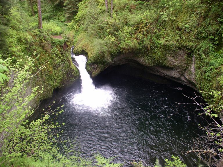
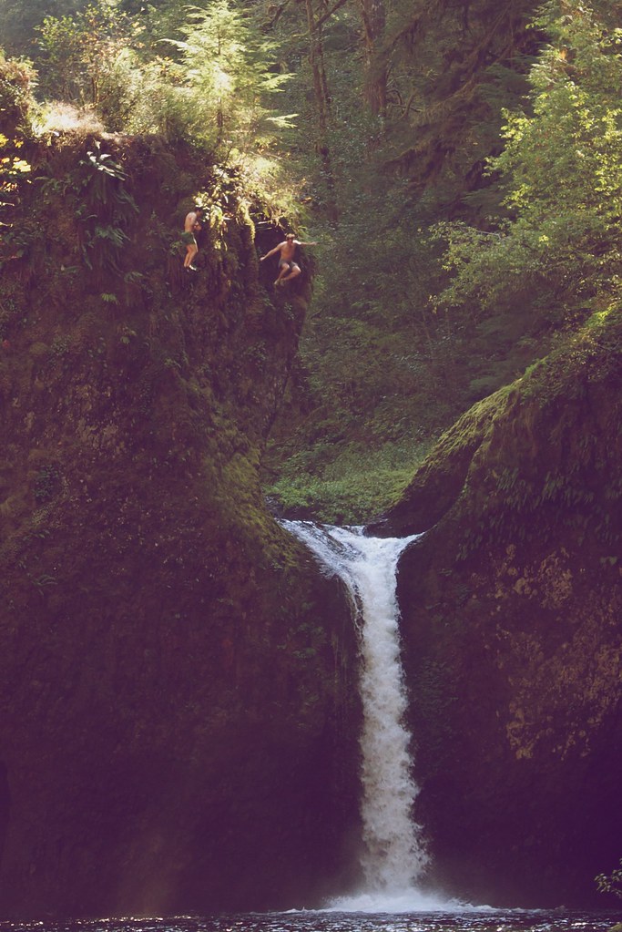
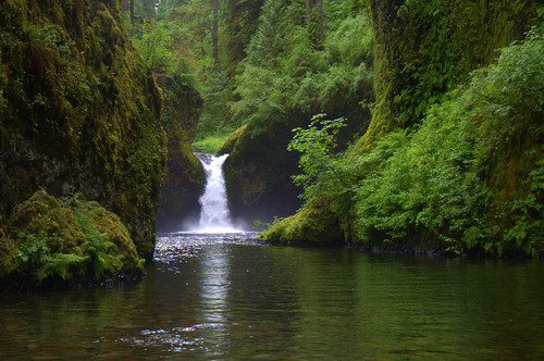
Punch Bowl Falls is a 36-foot plunging waterfall on Eagle Creek in the Columbia River Gorge, Hood River County, Oregon. Eagle Creek squeezes through a narrow basalt notch and shoots into a wide, round pool.
The falls
The creek makes a single drop of about 36 feet; the World Waterfall Database surveyed it in person. The stream is only about 5 feet wide at the lip and runs all year, with high flows averaging around 400 cubic feet per second. In 2017 the cliff on the left side of the creek collapsed between Punch Bowl and Lower Punch Bowl Falls, and the debris changed how the water flows between the two.
Getting there
The Eagle Creek Trailhead is off I-84 at exit 41, eastbound. Parking costs $5 a day, or a Northwest Forest Pass or America the Beautiful pass covers it; the lot holds about 50 cars, and illegally parked cars are towed. The Lower Punch Bowl junction is 1.7 miles up the trail, with a 0.2-mile spur dropping to a rocky beach between the two falls; an upper viewpoint sits about 0.1 mile farther along the main trail. The outing is 3.8 miles round trip with about 500 feet of gain, rated moderate. Recreation.gov takes no reservations for the trail. Oregon Tails reports that the trail reopened on May 1, 2026, after storm damage in December 2025.
When to go
The flow is good year-round. Recreation.gov notes the trail is crowded on summer weekends.
On site
The main trail runs along sheer cliffs without handrails in places, and Recreation.gov does not recommend it for children or anyone afraid of heights. Dogs are allowed on leash, but the cliff sections make it a poor dog hike. Diving or jumping from the rim into the pool is illegal. In June 2013 one man died and three were injured after jumping into the pool.
History and name
The name comes from the way the creek shoots into its bowl, like a ladle dipped into a punchbowl, and this waterfall gave its name to the punchbowl type of waterfall. Upstream stands an old wooden staircase leading to a concrete fish ladder.
Nearby
Lower Punch Bowl Falls is about 0.1 mile downstream. Metlako Falls, Sorenson Falls and Tish Creek Falls are each about 0.3 mile away. The town of Cascade Locks is about 3.3 miles north.
Distances are straight-line.