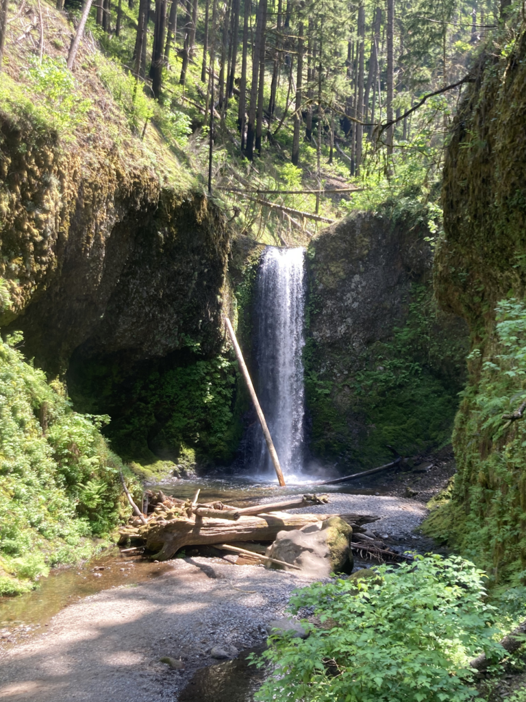
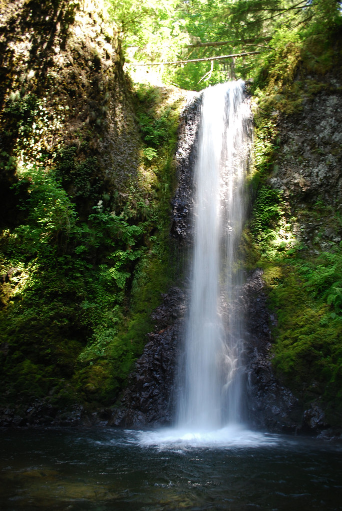
Wiesendanger Falls is a 52-foot plunge waterfall on Multnomah Creek in the Columbia River Gorge, Multnomah County, Oregon, upstream of Multnomah Falls. It sits beside the Larch Mountain Trail, where most hikers see it on the climb past the top of Multnomah Falls.
The falls
Multnomah Creek leaves a basalt ledge in a single vertical plunge about 10 feet wide into a gorge. The World Waterfall Database, which surveyed it in person, measures the drop at 52 feet. The creek is fed by springs.
Getting there
The falls are about 1.4 miles up the Larch Mountain Trail from Multnomah Falls Lodge, roughly 2.8 miles round trip. The falls come into view just before the trail starts another set of switchbacks. They can also be reached on the Multnomah-Wahkeena loop. The lodge lot is off I-84 at exit 31; in 2026 it required a $2 timed-use permit from Recreation.gov between May 22 and September 7, 9 am to 6 pm.
When to go
Winter and spring are the recommended seasons, when the creek carries the most water.
On site
The trail overlooks the falls from above. Just downstream is Dutchman's Tunnel, a basalt overhang that forms a natural shelter.
History and name
The falls have been called Upper Multnomah Falls, Double Falls and Twanklaskie Falls. In 1997 they were officially named for Albert Wiesendanger, a Forest Service ranger and a driving force behind the Keep Oregon Green campaign; a plaque honors him.
Nearby
Ecola Falls and Dutchman Falls are each about 0.1 mile away on the same creek, and Multnomah Falls is about 0.4 mile downstream.
Distances are straight-line.